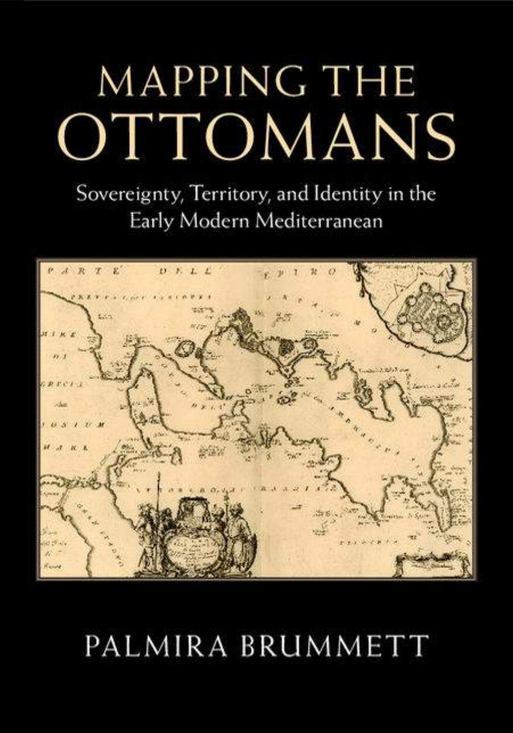
Mapping the Ottomans: Sovereignty, Territory, and Identity in the Early Modern Mediterranean by Palmira Brummett

Author:Palmira Brummett [Brummett, Palmira]
Language: eng
Format: azw3, pdf
Publisher: Cambridge University Press
Published: 2015-05-31T04:00:00+00:00
Figure 5.1. Wenceslaus Hollar (1607–77) [“Turk's Head”], Antwerp, 1645.
By permission of the Folger Shakespeare Library, Shelfmark: ART 254–213 (size S).
Figure 5.2. [Du Vignau, Sieur des Joanots] Person of Quality, “Soliman ye III.d” [Secrétaire turc. English] A New Account of the Present Condition of Turkish Affairs, frontispiece, London, 1688.
By permission of the Folger Shakespeare Library, Shelfmark: D2922.
Figure 5.3. Janissary. Nicolas de Nicolay, “Ianissaire allant à la guerre,” Les navigations peregrinations et voyages, fol. 137, Antwerp, 1576.
Download
Mapping the Ottomans: Sovereignty, Territory, and Identity in the Early Modern Mediterranean by Palmira Brummett.pdf
This site does not store any files on its server. We only index and link to content provided by other sites. Please contact the content providers to delete copyright contents if any and email us, we'll remove relevant links or contents immediately.
Man-made Catastrophes and Risk Information Concealment by Dmitry Chernov & Didier Sornette(5987)
The Revenge of Geography: What the Map Tells Us About Coming Conflicts and the Battle Against Fate by Kaplan Robert D(4063)
Zero Waste Home by Bea Johnson(3824)
COSMOS by Carl Sagan(3611)
Good by S. Walden(3538)
In a Sunburned Country by Bill Bryson(3526)
The Fate of Rome: Climate, Disease, and the End of an Empire (The Princeton History of the Ancient World) by Kyle Harper(3048)
A Wilder Time by William E. Glassley(2849)
Camino Island by John Grisham(2788)
Organic Mushroom Farming and Mycoremediation by Tradd Cotter(2681)
The Ogre by Doug Scott(2672)
Human Dynamics Research in Smart and Connected Communities by Shih-Lung Shaw & Daniel Sui(2490)
Energy Myths and Realities by Vaclav Smil(2478)
The Traveler's Gift by Andy Andrews(2445)
9781803241661-PYTHON FOR ARCGIS PRO by Unknown(2357)
Inside the Middle East by Avi Melamed(2346)
Birds of New Guinea by Pratt Thane K.; Beehler Bruce M.; Anderton John C(2245)
A History of Warfare by John Keegan(2228)
And the Band Played On by Randy Shilts(2181)
